A small mountain town with a big horizon.
Bakersville is the county seat of Mitchell County and a natural starting point for exploring northern Mitchell County. The town's own visitor organization calls the area the “Gateway to Roan Mountain,” pairing winding mountain roads and outdoor adventure with local shops, restaurants, artists, potters and galleries.
This is a place where the trip can be as simple as walking through town and following Cane Creek — or as ambitious as climbing into the high country for an Appalachian Trail day hike.
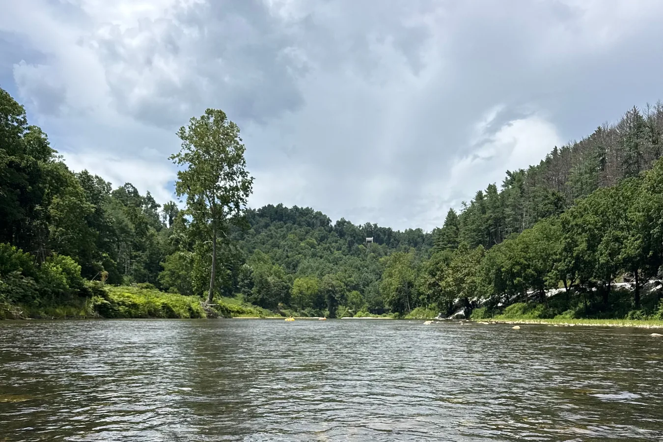
From Bakersville to the high country.
Bakersville & Cane Creek
Begin in Bakersville, where Cane Creek runs through the community and the mountains rise quickly in every direction. Take time to explore town before heading higher. The pace here is part of the experience: local streets, mountain views, galleries, community events and roads that invite you to see what is around the next bend.
Follow NC-261 North
From Bakersville, NC-261 becomes the road toward Roan Mountain and the North Carolina–Tennessee line. The climb itself is part of the trip, trading the valley for cooler air, changing forests and increasingly broad mountain views.
Carvers Gap
Carvers Gap is the best-known access point for the Roan Highlands. The Appalachian Trail Conservancy places the gap about 14 miles north of Bakersville on NC-261 and notes that parking is limited and the area is extremely popular. Arrive with a backup plan and park only in designated areas.
Round Bald & Jane Bald
From Carvers Gap, the Appalachian Trail climbs onto the open balds. The ATC's Round Bald and Jane Bald route is a 2.6-mile moderate outing through grassy balds, spruce-fir forest and rock outcrops. The open terrain is beautiful, but the high-elevation vegetation is fragile — stay on established trail.
The Roan Highlands
Up here, the scale changes. Long ridgelines, open balds and spruce-fir forest replace the valley floor. The Roan Massif rises above 6,000 feet in places, and the Appalachian Trail crosses some of the most distinctive high-country terrain in the Southern Appalachians.
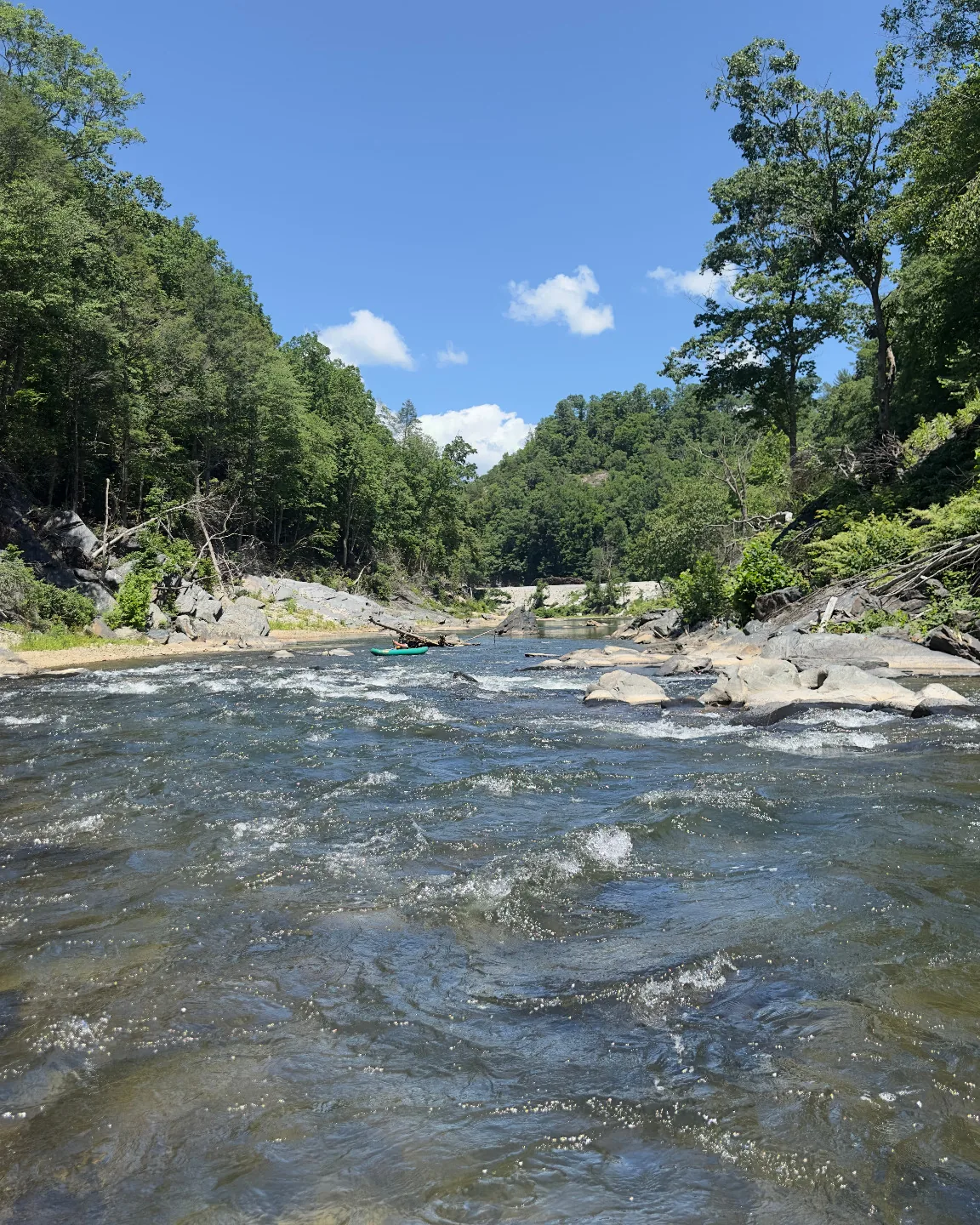
Come back down and keep exploring.
Roan Mountain may define the northern skyline, but Bakersville's story also runs through the Toe River Valley and one of Western North Carolina's best-known craft communities.
Toe River Valley
Make room for paddling, fishing, river days, scenic drives and the communities connected by the Toe River watershed.
Penland & Craft
Nearby Penland School of Craft is an international center for craft education. Its Gallery & Visitors Center showcases contemporary craft and helps visitors learn about area studios.
Take the Long Way
Some of the best exploring here happens between destinations: mountain roads, overlooks, small communities and unexpected stops.
Stay Local
Spend time in Bakersville itself. Local businesses, galleries and events are part of what makes a mountain trip feel connected to the place.
Roan conditions can change.
High-elevation weather, parking, trail closures and post-Helene recovery conditions can change independently of conditions down in Bakersville. Check official sources before leaving town.
Current visitor notes
Carvers Gap parking is limited. The Appalachian Trail Conservancy also reports ongoing recovery-related restrictions in portions of the wider Roan area, including a long-term burn ban between Hughes Gap and Doll Flats and a closure of the Roan High Knob Shelter. Check current official notices before every trip.
Make Bakersville your base camp.
Toe River Base Camp is taking shape along Cane Creek in Bakersville, North Carolina. Opening Summer 2027, the campground is being created as a comfortable home base for exploring Bakersville, the Toe River Valley and the mountains beyond.